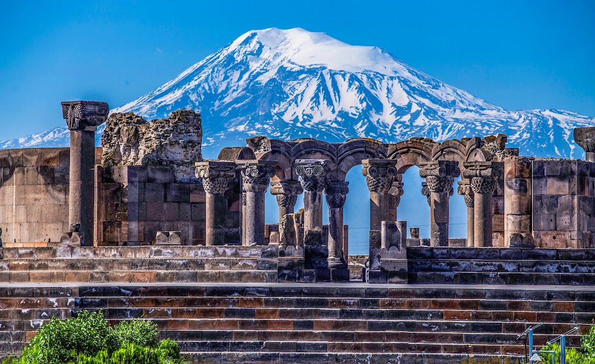
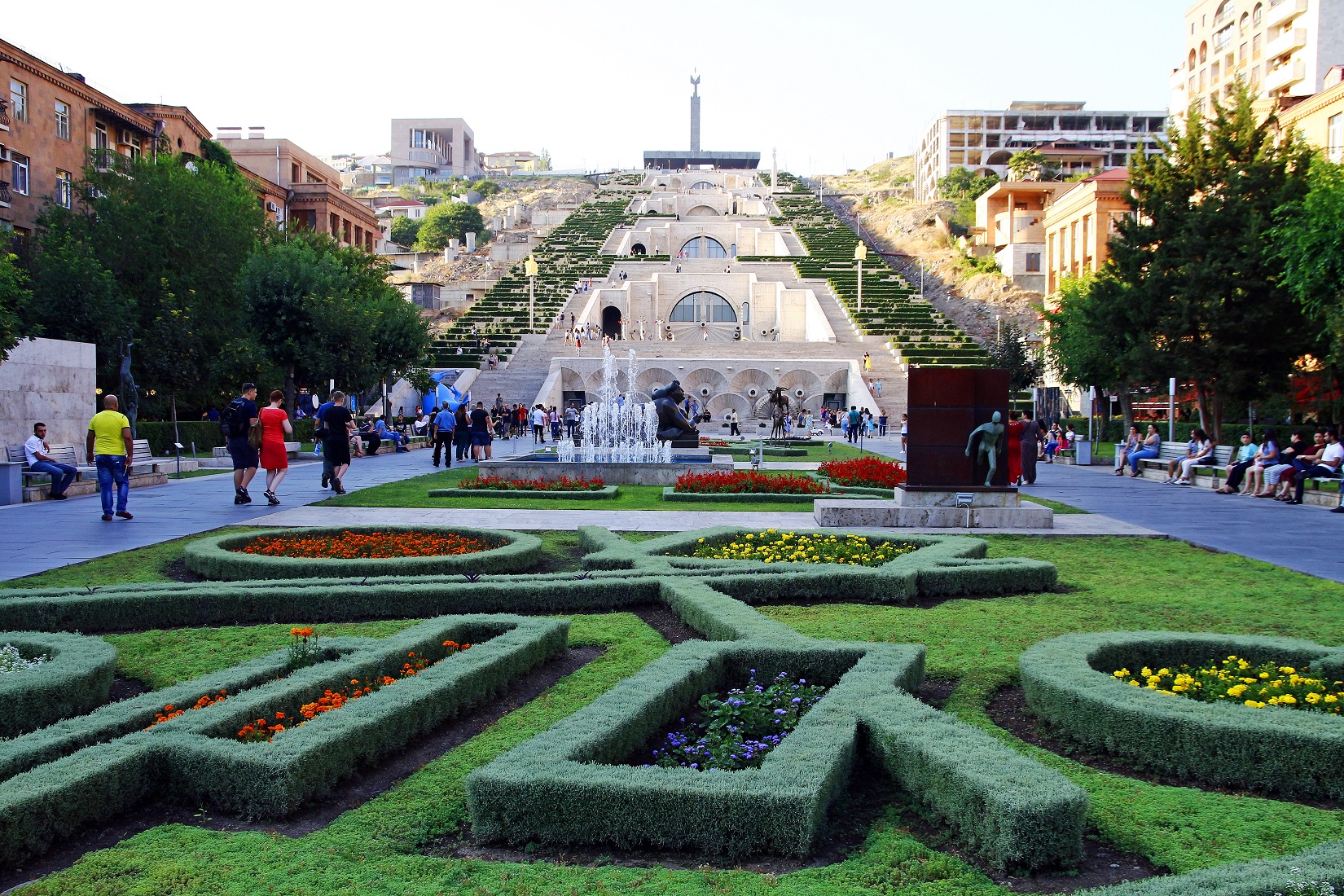
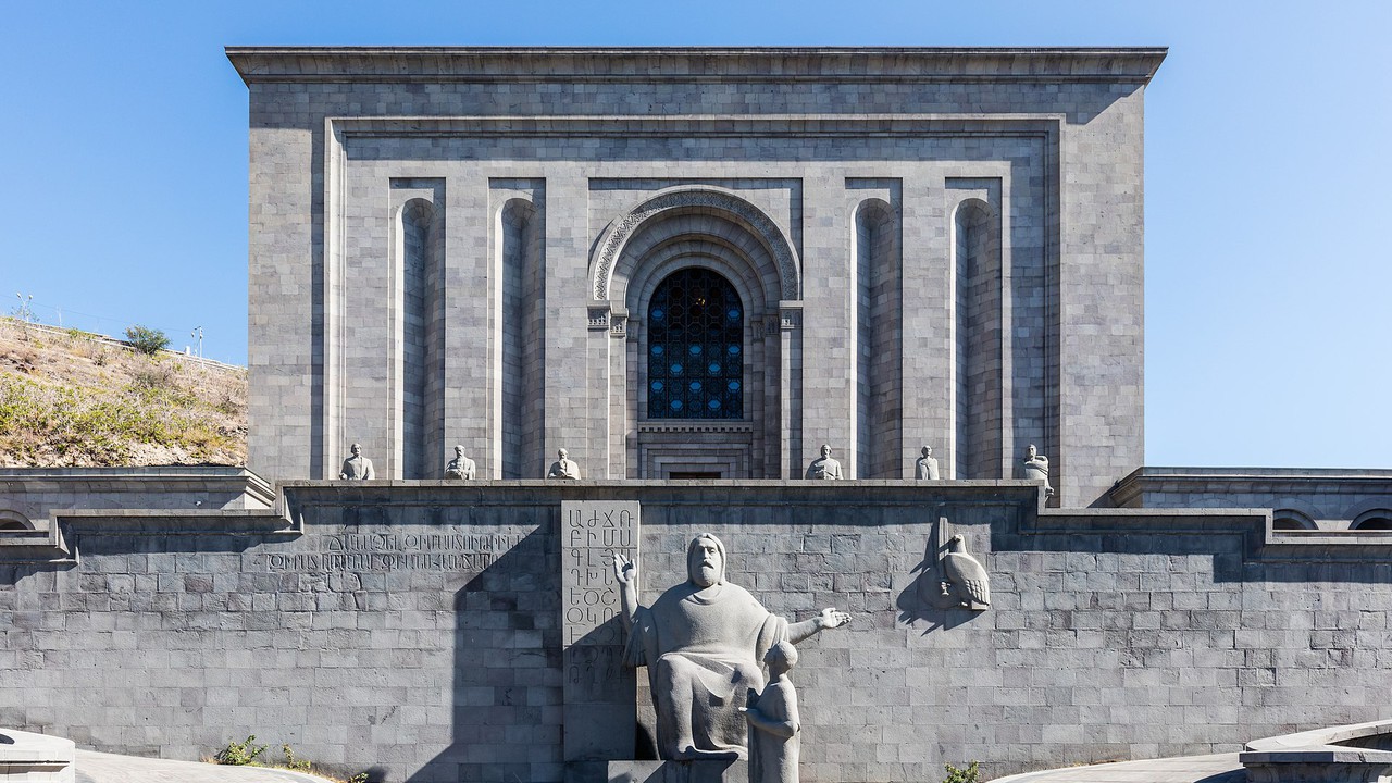
🏞️ Sights in Armenia
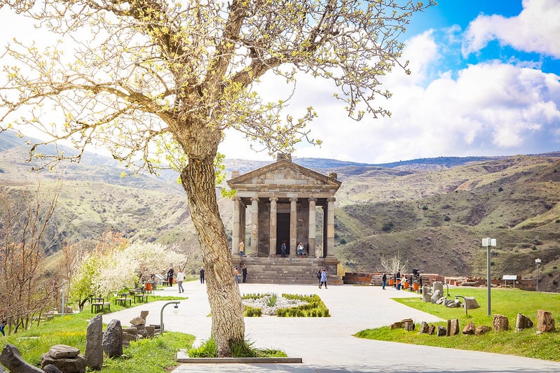
Garni Pagan Temple
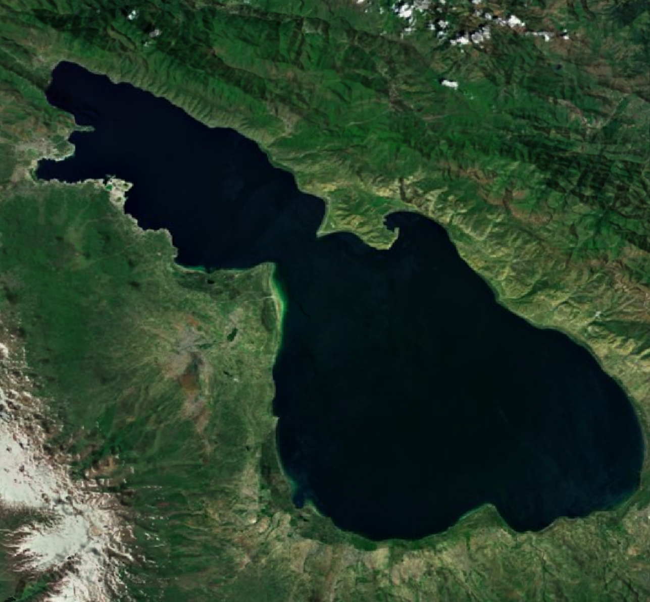
Lake Sevan
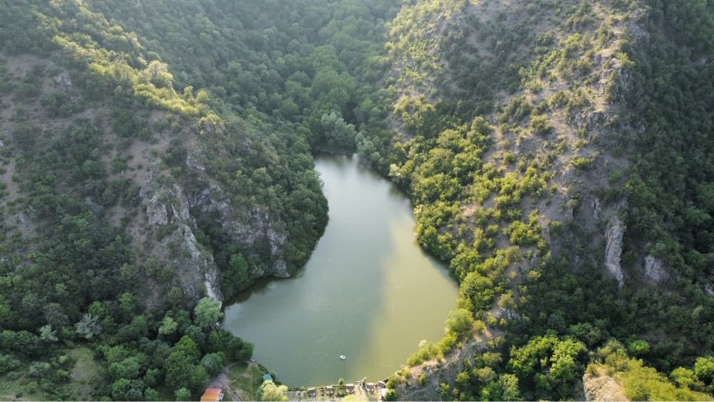
Parz Lake
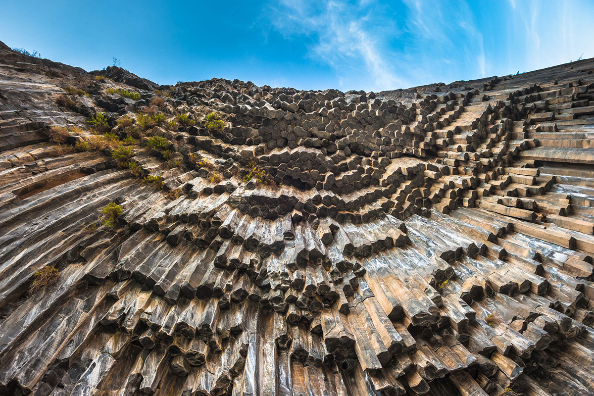
Garni Gorge — Basalt Columns
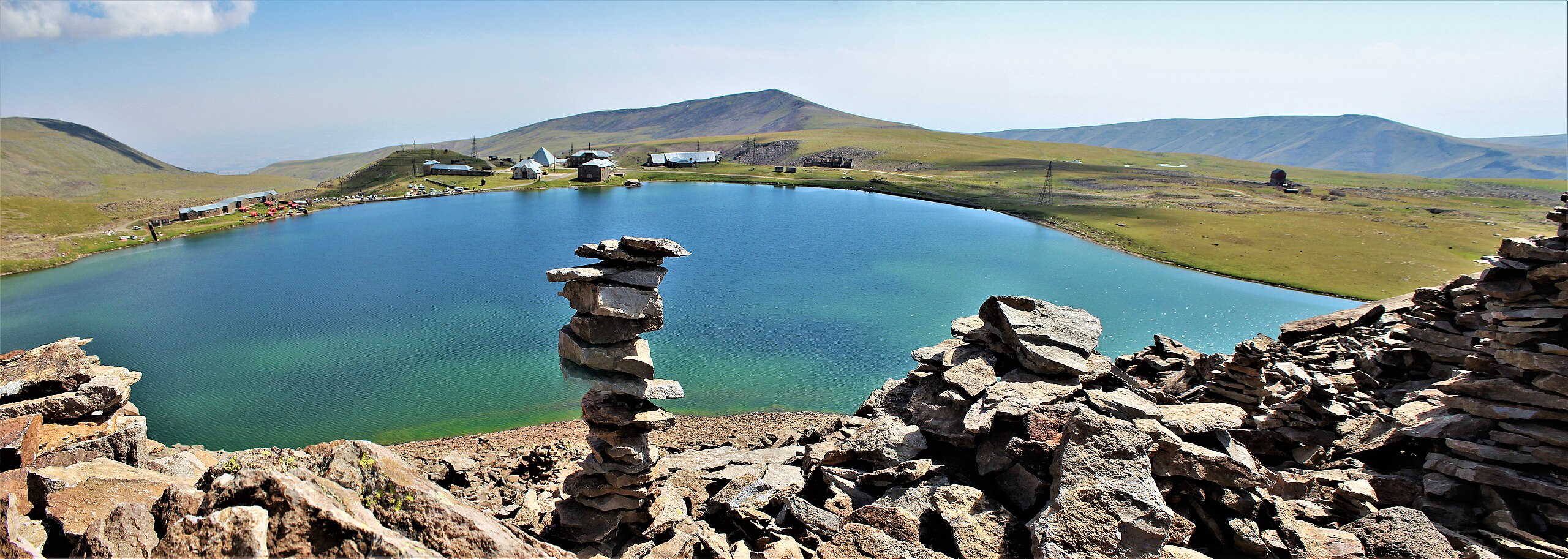
Kari Lake

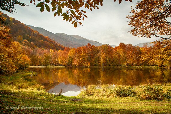
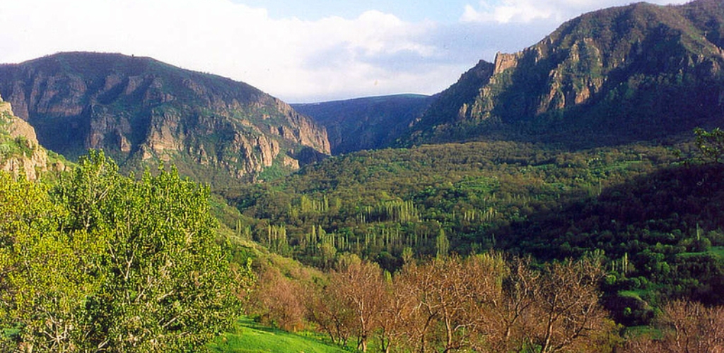
Dilijan
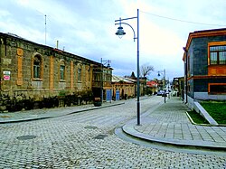
Gyumri — Old Town
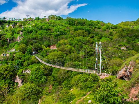
Khndzoresk — Cave Village
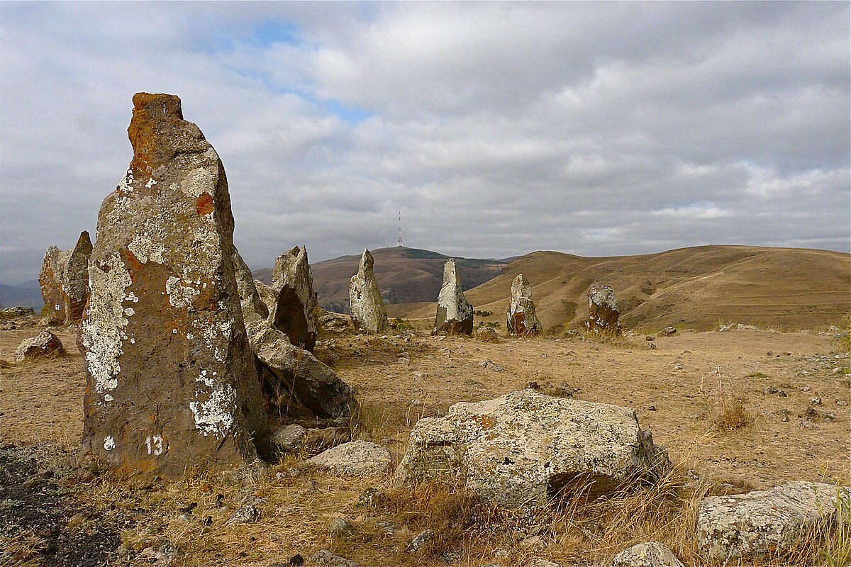
Karahunj — Armenian Stonehenge
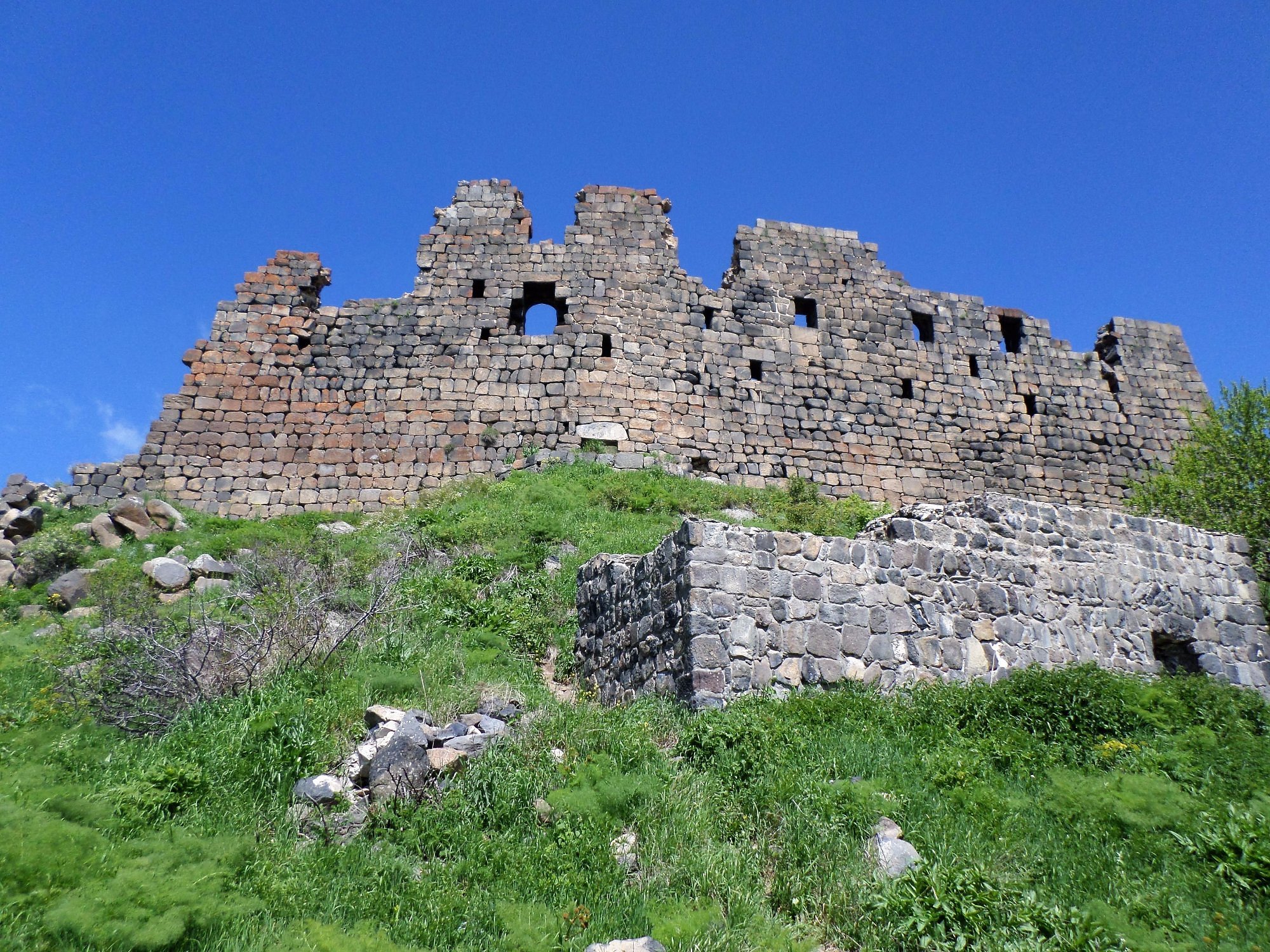
Amberd — Mountain Fortress & Church
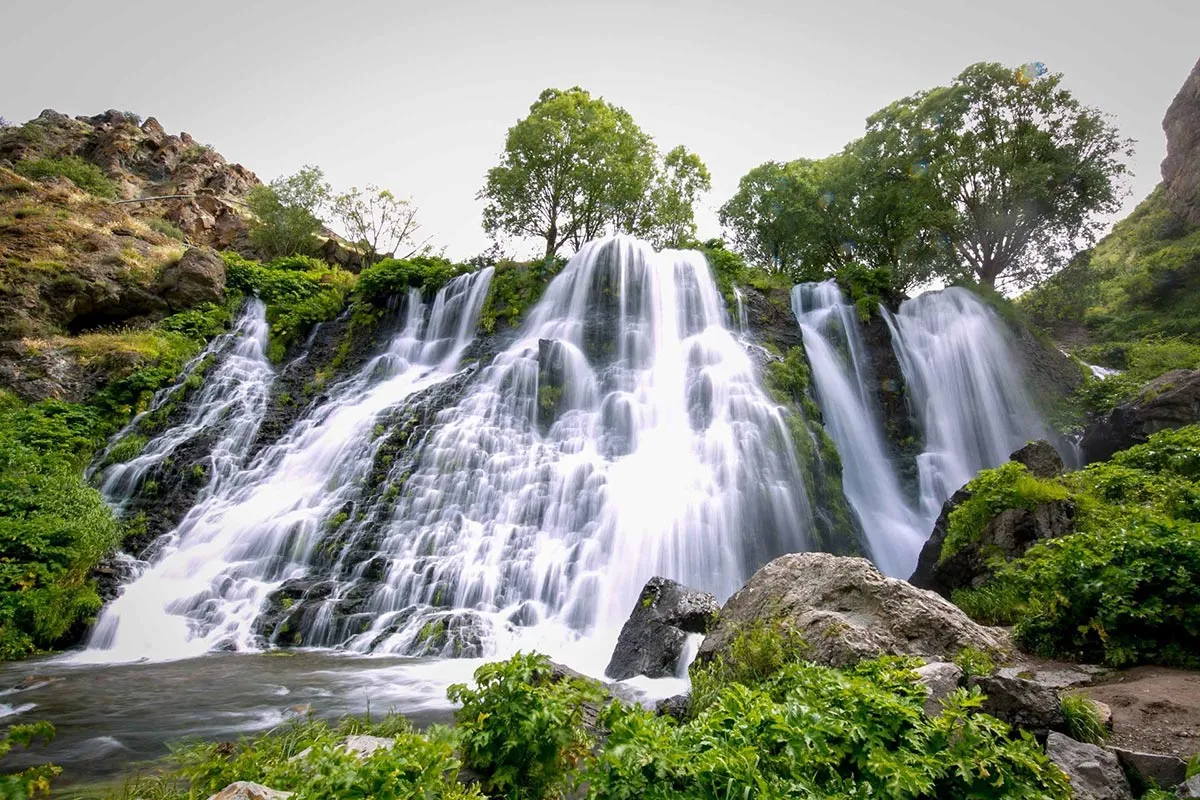
Shaki Waterfall
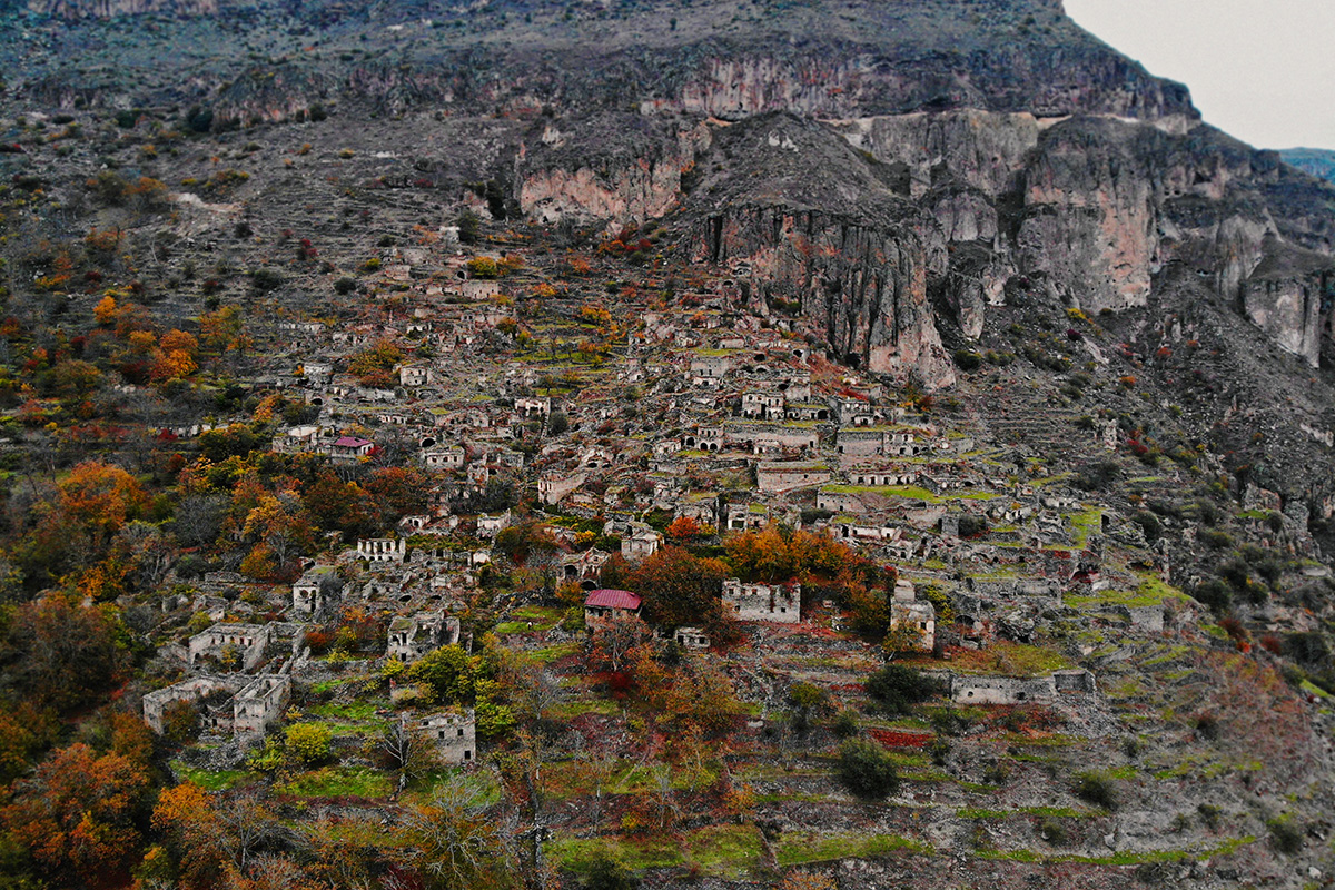
Old Khot — Abandoned Village
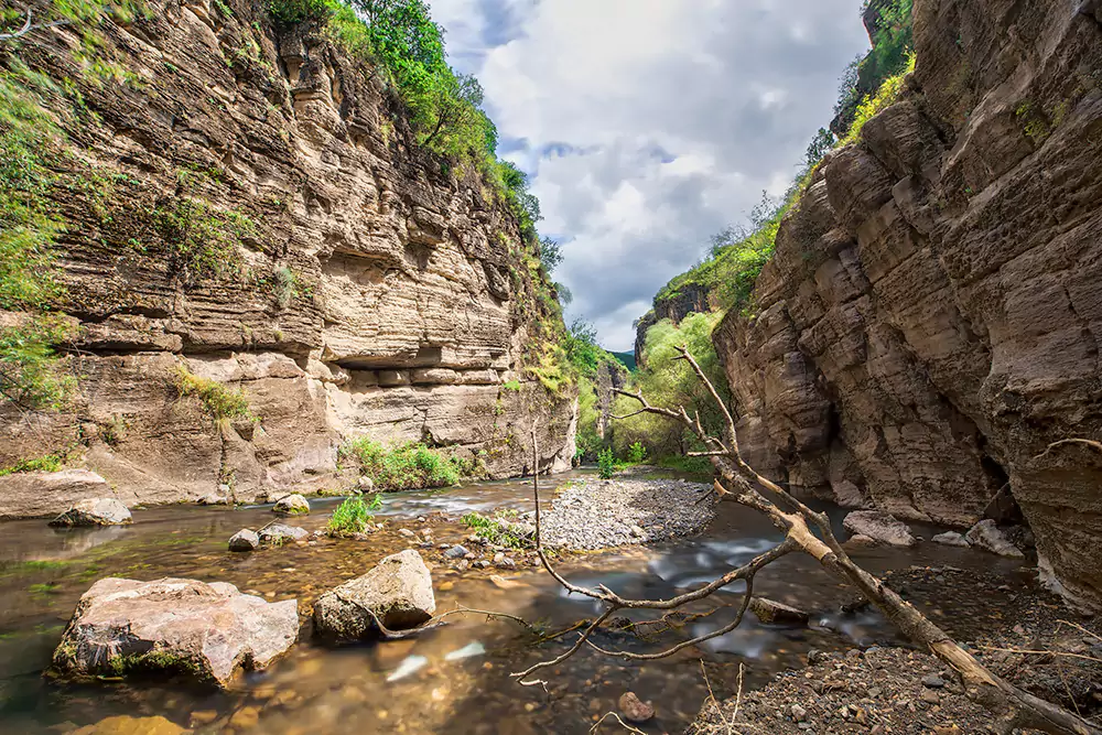
Vorotan Gorge — Devil's Bridge
Dsegh — Birthplace of Hovhannes Tumanyan
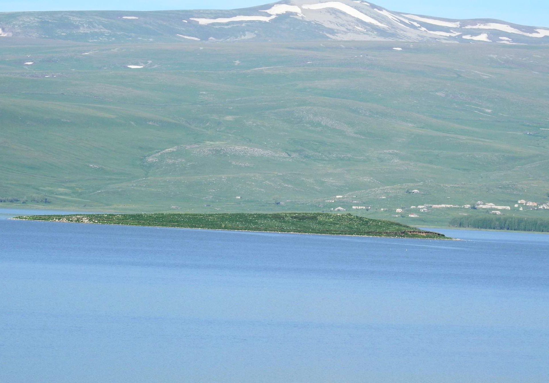
Lake Arpi — National Park
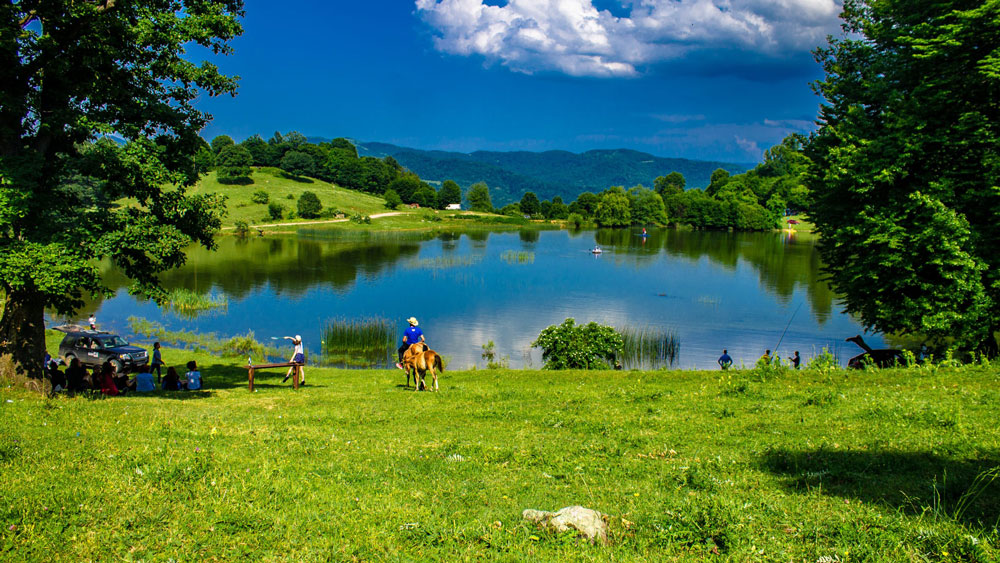
Gosh Lake
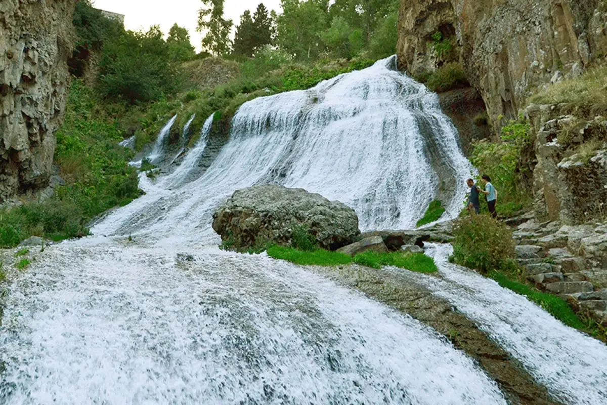
Jermuk Waterfall
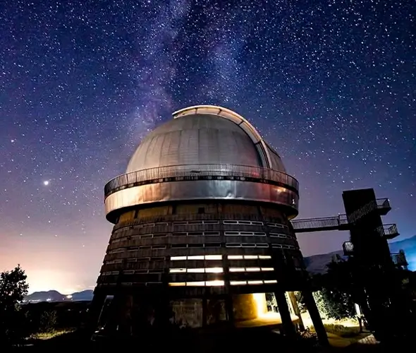
Byurakan Astrophysical Observatory
Khosrov Forest Reserve — Armenia's Oldest Protected Area